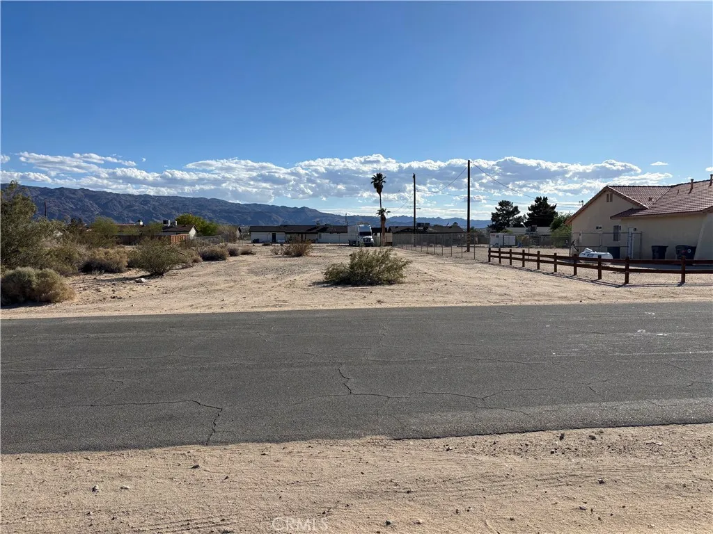
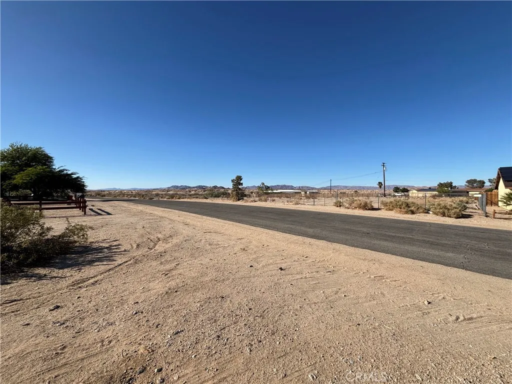
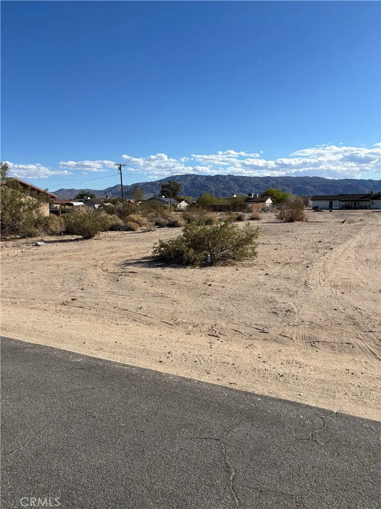
Land For Sale

Basic Details
Property Type:
Land
Listing Type:
For Sale
Listing ID:
JT25096913
Price:
$24,900
View:
Desert, Hills, Mountain(s), Neighborhood, Panoramic
Lot Area:
0.46 Acre
Features
Fence
None,
Sewer
None,
Utilities
Electricity Available, Water Available, See Remarks, Sewer Not Available, Overhead Utilities,
Address Map
Country:
US
State:
CA
County:
San Bernardino
City:
29 Palms
Zipcode:
92277
Street:
Flying H
Street Number:
1
Street Suffix:
Road
Directions:
From 29 Palms Hwy. (Hwy. 62) turn north onto Utah Trail, then turn right onto Amboy Road, left onto Sunmore Parkway and at the end of the strait turn left and veer right onto Flying H Road.
Mls Area Major:
DC728 - Campbell Hill
Zoning:
VCNT LND-NEC
Agent Info

|
Ray Millman
|

