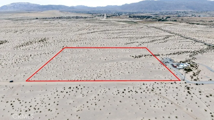
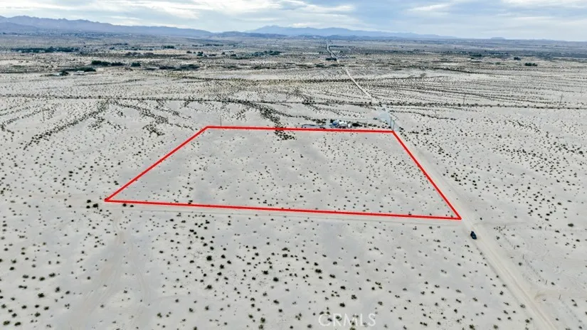
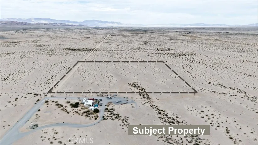
Land For Sale

Basic Details
Property Type:
Land
Listing Type:
For Sale
Listing ID:
HD26064855
Price:
$37,900
View:
Desert, Mountain(s), Valley
Lot Area:
10 Acre
Features
Fence
None,
Sewer
None,
Utilities
Electricity Available, Water Available, Sewer Not Available,
Address Map
Country:
US
State:
CA
County:
San Bernardino
City:
29 Palms
Zipcode:
92277
Street:
Indian
Street Number:
10
Longitude:
W117° 58' 0.2''
Latitude:
N34° 11' 9.6''
Directions:
Hwy 62/Amboy Rd: North on Amboy Rd and go 2 mi, R onto Amboy Rd and go 1 mi, L onto Utah Tr and go 1.5 mi, R onto Indian Tr and go 660 ft. Property is on your right. GPS: 34.1868469540, -116.034341648
Mls Area Major:
DC728 - Campbell Hill
Zoning:
RL 2.5
Agent Info

|
Ray Millman
|

